Following disastrous flooding across Central Texas, the National Aeronautics and Space Administration (NASA) stepped in to provide innovative, real-time guidance and maps to local and state officials to aid in recovery efforts.
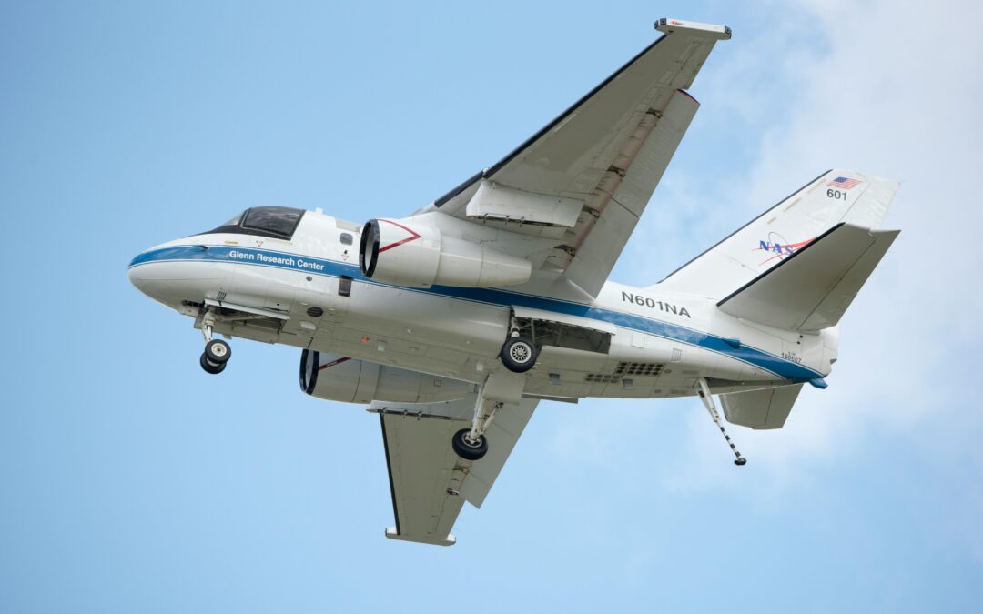
NASA’s Disasters Response Coordination System (DRCS) sent two WB-57 aircraft to conduct aerial surveys of the Guadalupe River and surrounding areas in Central Texas in response to severe flooding during the Fourth of July weekend.
The NASA Disasters Program coordinated with NASA’s Airborne Sciences Program to conduct the flights, seeking to collect high-resolution optical imagery and radar measurements of the Guadalupe, San Gabriel and Colorado river basins.
According to NASA’s website, DRCS provides disaster science and technology initiatives to aid organizations actively responding to disasters.
NASA released a statement along with a series of updates detailing its progress in collecting the flood data. According to the statement, the DRCS team is working with the Federal Emergency Management Agency (FEMA), the Texas Division of Emergency Management and two humanitarian groups, Save the Children and GiveDirectly. DRCS shared a range of aerial and satellite-based data products to assist these partners in assessing flood impacts and guiding response and recovery efforts.
According to the statement, products include the innovative technology, Day/Night Airborne Motion Imager for Terrestrial Environments (DyNAMITE) high-resolution imagery, Uninhabited Aerial Vehicle Synthetic Aperture Radar (UAVSAR) flood classification maps to identify open water flooding and Planet Normalized Difference Vegetation Index change analysis maps.
Maps and data have been released publicly on the NASA Disasters Mapping Portal, which will host additional data as it’s produced.
Photo by Mike Kutz from Pexels

